+x+xHave you not seen the Aerial Photography feature on the What’s Here pop-up?
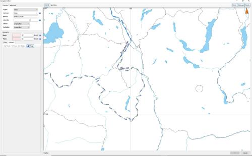
This is all what I see in the Airspace Editor tool.
Sorry, I meant to use the Aerial Photography feature in the main chart to identify your points and get the Lat/Long, then copy them to the tool.
Not ideal, but doable.