By peter-v - 6/1/2016 7:53:41 AM
The Netherlands map contains a small error which I guess was copied over from the 2015 map. It was corrected on the official 2016 paper map.
The village at 51.1375N 4.2316E is called Dinteloord, not Dintelo. The highway (A4) that passes on the east has been extended upto 51.3214N 4.1748E in 2014; where it linked up to the already existing part of the A4 highway (north of Bergen op Zoom).
|
By Fabian13 - 8/10/2016 8:49:21 AM
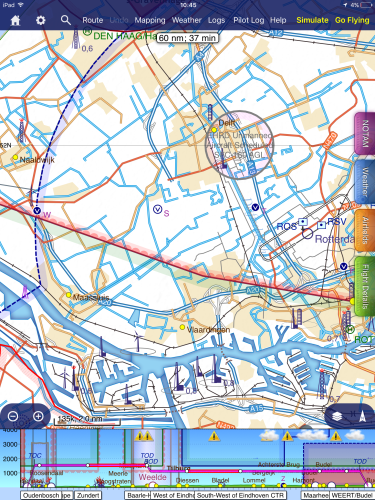
Also highway A4 has been extended from South West of Delft to East of Vlaardingen (Beneluxtunnel).
Regards, Fabian
|
|